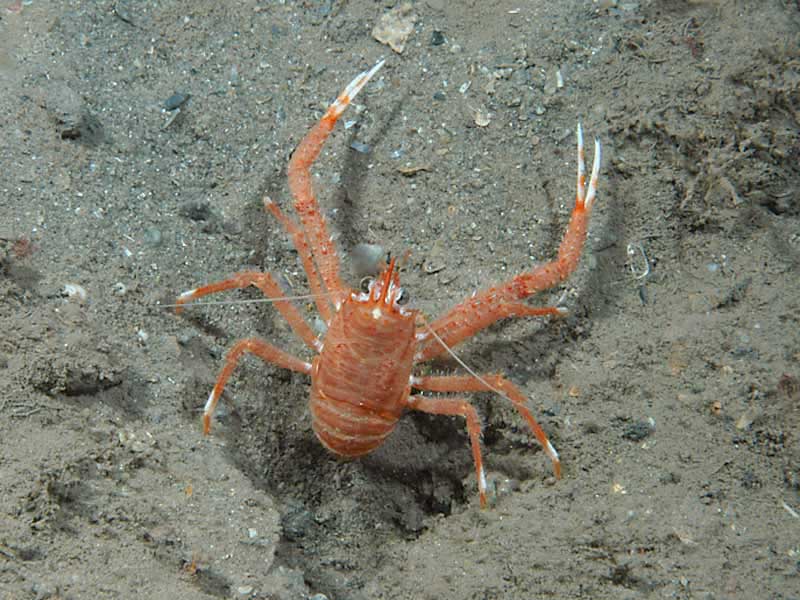
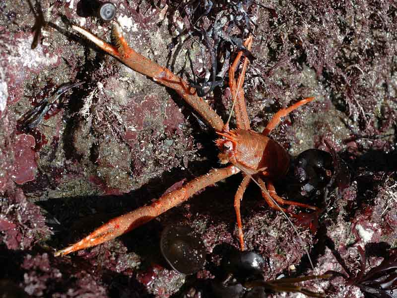
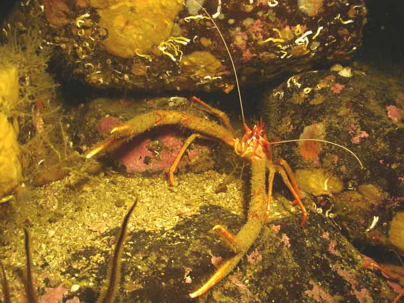
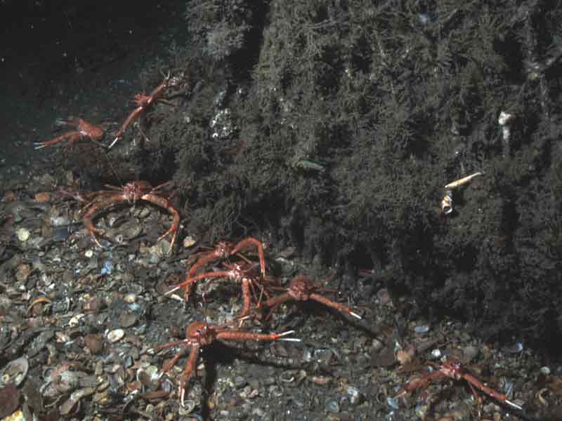
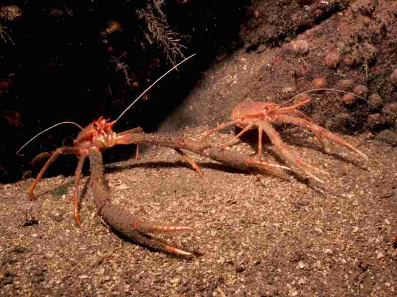
Rugose squat lobster (Munida rugosa)
Distribution data supplied by the Ocean Biodiversity Information System (OBIS). To interrogate UK data visit the NBN Atlas.Map Help
| Researched by | Angus Jackson | Refereed by | Admin |
| Authority | (Fabricius, 1775) | ||
| Other common names | - | Synonyms | Munida bamffica A. Milne Edwards & Bouvier, 1899 |
Summary
Description
Recorded distribution in Britain and Ireland
All British and Irish coasts.Global distribution
-Habitat
Common in shallow water where it lives on rock ledges, excavations in sand under boulders and on rock ledges (Sue Scott, pers. comm.). Also found in deeper water (50- 150 m) on sandy or soft substrata.Depth range
-Identifying features
- Antennae not quite as long as the pincer bearing legs.
- Pincers are very long and thin with numerous spines.
- Numerous uninterrupted dark transverse stripes on the orange / brown carapace.
- No spines on fourth abdominal segment.
- Fifth pair of walking legs long and thin, usually held underneath the margins of the carapace.
Additional information
Also known as plated lobster and squat lobster.Listed by
Bibliography
Campbell, A., 1994. Seashores and shallow seas of Britain and Europe. London: Hamlyn.
Howson, C.M. & Picton, B.E., 1997. The species directory of the marine fauna and flora of the British Isles and surrounding seas. Belfast: Ulster Museum. [Ulster Museum publication, no. 276.]
Ingle, R., 1997. Crayfishes, lobsters and crabs of Europe. An illustrated guide to common and traded species. London: Chapman and Hall.
Datasets
Centre for Environmental Data and Recording, 2018. Ulster Museum Marine Surveys of Northern Ireland Coastal Waters. Occurrence dataset https://www.nmni.com/CEDaR/CEDaR-Centre-for-Environmental-Data-and-Recording.aspx accessed via NBNAtlas.org on 2018-09-25.
Environmental Records Information Centre North East, 2018. ERIC NE Combined dataset to 2017. Occurrence dataset: http://www.ericnortheast.org.ukl accessed via NBNAtlas.org on 2018-09-38
National Trust, 2017. National Trust Species Records. Occurrence dataset: https://doi.org/10.15468/opc6g1 accessed via GBIF.org on 2018-10-01.
NBN (National Biodiversity Network) Atlas. Available from: https://www.nbnatlas.org.
OBIS (Ocean Biodiversity Information System), 2025. Global map of species distribution using gridded data. Available from: Ocean Biogeographic Information System. www.iobis.org. Accessed: 2025-06-30
Citation
This review can be cited as:
Last Updated: 24/04/2008

