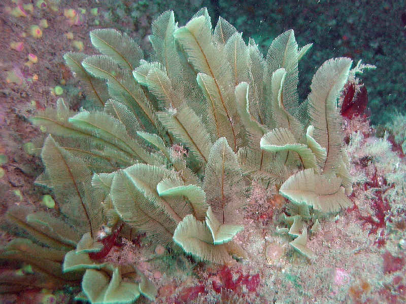
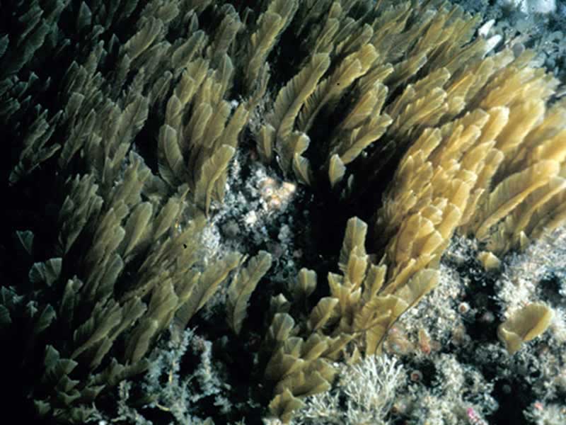
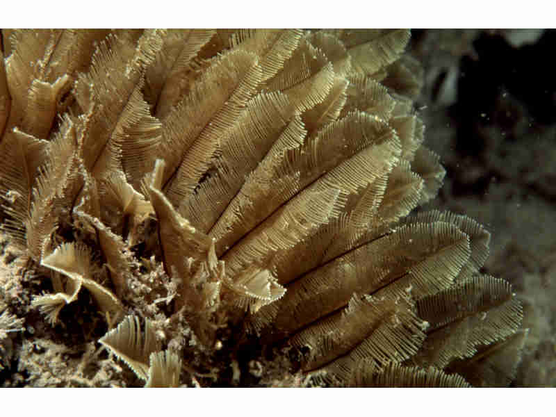
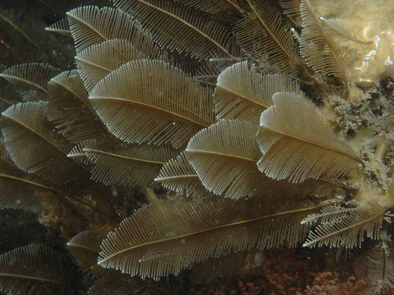
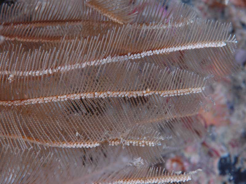
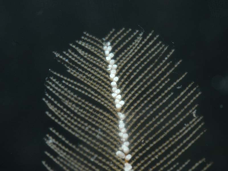
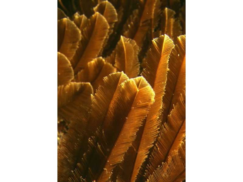
Yellow feathers (Gymnangium montagui)
Distribution data supplied by the Ocean Biodiversity Information System (OBIS). To interrogate UK data visit the NBN Atlas.Map Help
| Researched by | Paolo Pizzolla | Refereed by | Admin |
| Authority | (Billard, 1912) | ||
| Other common names | - | Synonyms | Aglaophenia pennatula Hinks 1868 |
Summary
Description
Recorded distribution in Britain and Ireland
Found on the south and western coasts of Britain and western coasts of Ireland, recorded as far north as the Isle of Arran.Global distribution
-Habitat
Found on bedrock, shells and algae in coastal waters, sometimes in patches up to 1 m across.Depth range
-Identifying features
- Tall, erect feather-shaped plumes.
- Plumes up to 15 cm in length.
- Occur singly or in groups.
- Long length of defensive structures on mid-line of branches characteristic of this species.
- Found on bedrock, shells and algae in coastal waters.
Additional information
Thought to produce reproductive bodies in the feathers in early winter.Listed by
- none -
Bibliography
Cornelius, P.F.S., 1995b. North-west European thecate hydroids and their medusae. Part 2. Sertulariidae to Campanulariidae. Shrewsbury: Field Studies Council. [Synopses of the British Fauna no. 50]
Hayward, P.J. & Ryland, J.S. (ed.) 1995b. Handbook of the marine fauna of North-West Europe. Oxford: Oxford University Press.
Howson, C.M. & Picton, B.E., 1997. The species directory of the marine fauna and flora of the British Isles and surrounding seas. Belfast: Ulster Museum. [Ulster Museum publication, no. 276.]
JNCC (Joint Nature Conservation Committee), 1999. Marine Environment Resource Mapping And Information Database (MERMAID): Marine Nature Conservation Review Survey Database. [on-line] http://www.jncc.gov.uk/mermaid
Picton, B.E. & Costello, M.J., 1998. BioMar biotope viewer: a guide to marine habitats, fauna and flora of Britain and Ireland. [CD-ROM] Environmental Sciences Unit, Trinity College, Dublin.
Datasets
NBN (National Biodiversity Network) Atlas. Available from: https://www.nbnatlas.org.
OBIS (Ocean Biodiversity Information System), 2025. Global map of species distribution using gridded data. Available from: Ocean Biogeographic Information System. www.iobis.org. Accessed: 2025-08-08
Citation
This review can be cited as:
Last Updated: 17/04/2008

