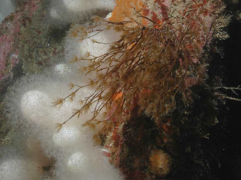
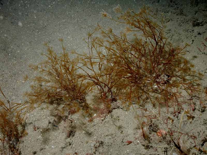
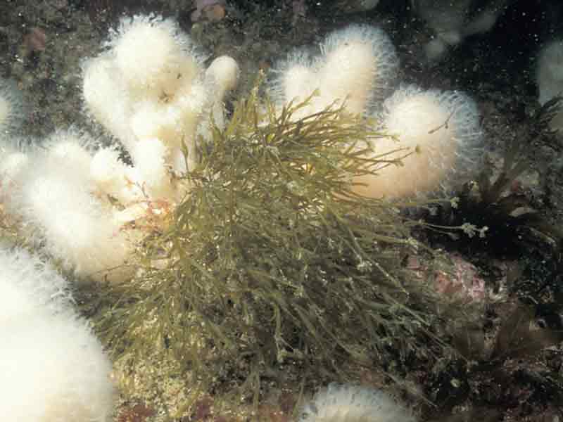
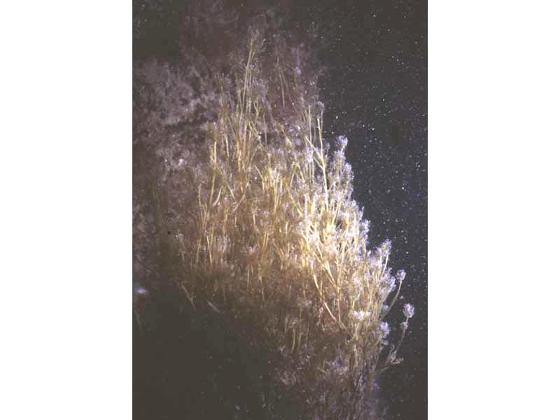
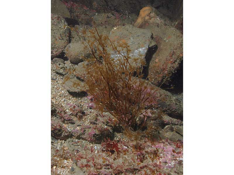
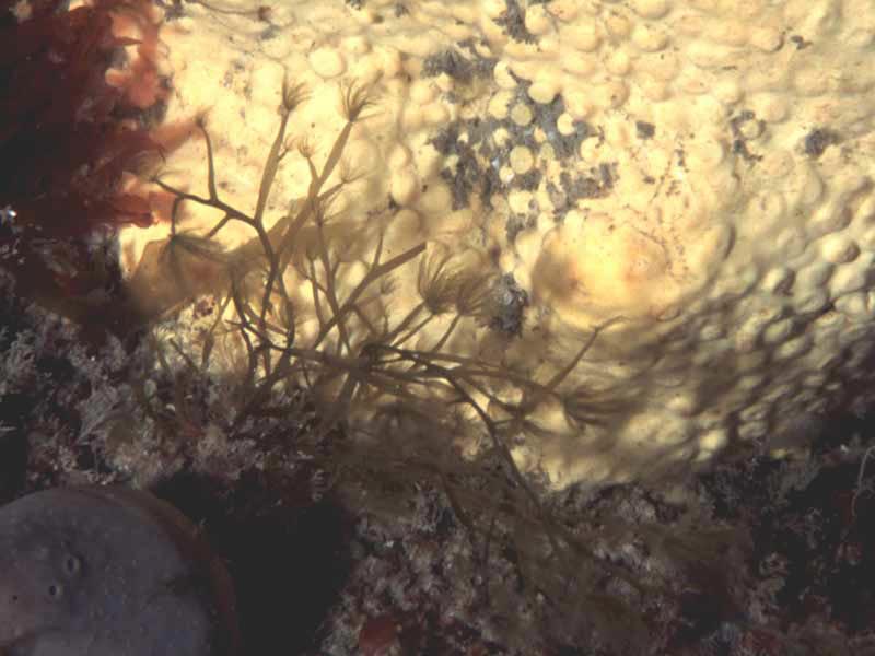
A brown seaweed (Carpomitra costata)
Distribution data supplied by the Ocean Biodiversity Information System (OBIS). To interrogate UK data visit the NBN Atlas.Map Help
| Researched by | Marie Skewes | Refereed by | Admin |
| Authority | (Stackhouse) Batters, 1902 | ||
| Other common names | - | Synonyms | - |
Summary
Description
Recorded distribution in Britain and Ireland
Carpomitra costata is a southern species found in the southern UK and the Channel Islands and recorded as far north as the Isle of Man, Donegal, Coll Island and St Kilda.Global distribution
No information found.Habitat
Carpomitra costata is epilithic on bedrock and boulders and can be found from the sublittoral to depths of up to 37 m.Depth range
-Identifying features
- Blades branch pseudo-dichotomously, sometimes tri-radiately or alternately.
- Apex obtuse or truncated, often with young, projecting, cylindrical terminal branches.
Additional information
The tufts at the extremity of the frond are conspicuous and highly characteristic.Listed by
- none -
Bibliography
Fletcher, R.L., 1987. Seaweeds of the British Isles vol. 3. Fucophyceae (Phaeophyceae) Part 1. London: British Museum (Natural History).
Hardy, F.G. & Guiry, M.D., 2003. A check-list and atlas of the seaweeds of Britain and Ireland. London: British Phycological Society
Hiscock, K., Southward, A., Tittley, I., Jory, A. & Hawkins, S., 2001. The impact of climate change on subtidal and intertidal benthic species in Scotland. Scottish National Heritage Research, Survey and Monitoring Report , no. 182., Edinburgh: Scottish National Heritage
Hiscock, S., 1979. A field key to the British brown seaweeds (Phaeophyta). Field Studies, 5, 1- 44.
Howson, C.M. & Picton, B.E., 1997. The species directory of the marine fauna and flora of the British Isles and surrounding seas. Belfast: Ulster Museum. [Ulster Museum publication, no. 276.]
Datasets
Centre for Environmental Data and Recording, 2018. Ulster Museum Marine Surveys of Northern Ireland Coastal Waters. Occurrence dataset https://www.nmni.com/CEDaR/CEDaR-Centre-for-Environmental-Data-and-Recording.aspx accessed via NBNAtlas.org on 2018-09-25.
NBN (National Biodiversity Network) Atlas. Available from: https://www.nbnatlas.org.
OBIS (Ocean Biodiversity Information System), 2025. Global map of species distribution using gridded data. Available from: Ocean Biogeographic Information System. www.iobis.org. Accessed: 2025-08-08
Royal Botanic Garden Edinburgh, 2018. Royal Botanic Garden Edinburgh Herbarium (E). Occurrence dataset: https://doi.org/10.15468/ypoair accessed via GBIF.org on 2018-10-02.
Citation
This review can be cited as:
Last Updated: 17/04/2008

