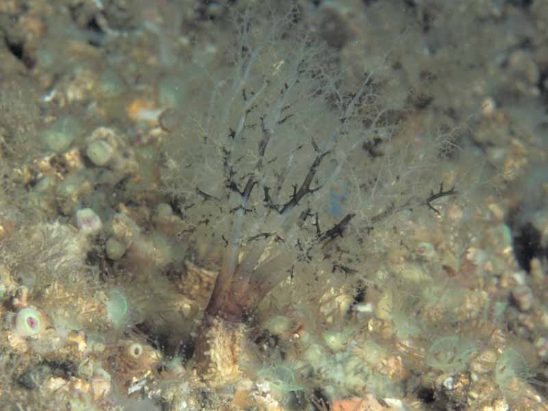
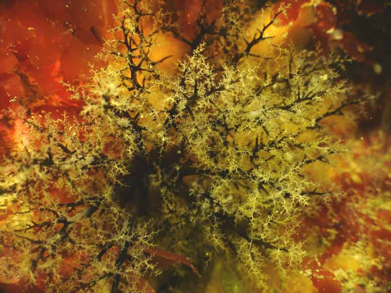
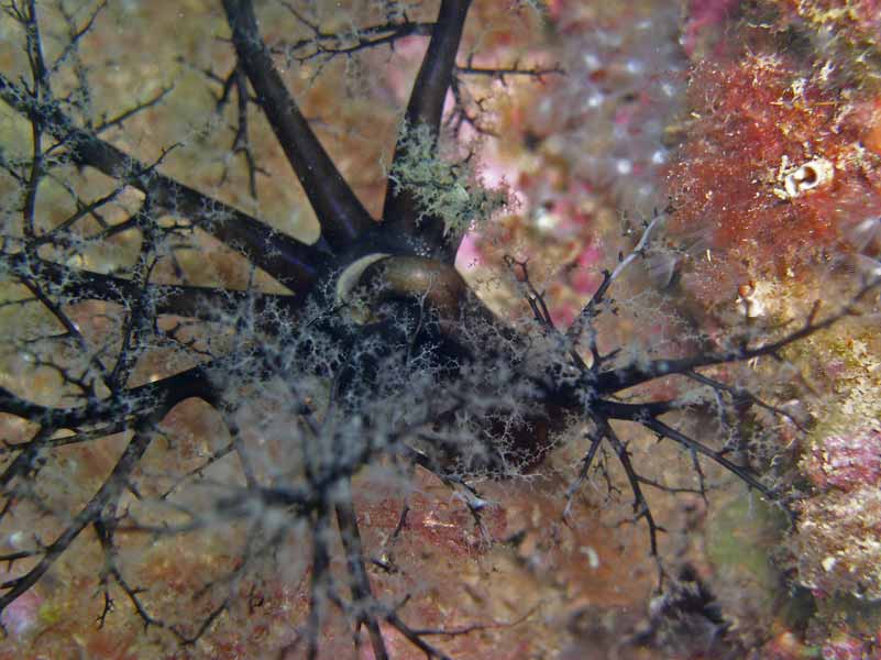
Brown sea cucumber (Aslia lefevrei)
Distribution data supplied by the Ocean Biodiversity Information System (OBIS). To interrogate UK data visit the NBN Atlas.Map Help
| Researched by | Marisa Sabatini | Refereed by | Admin |
| Authority | (Barrois, 1882) | ||
| Other common names | - | Synonyms | Cucumaria lefevrei , Cucumaria normani (Barrois, 1882) |
Summary
Description
Recorded distribution in Britain and Ireland
Found in the Shetland Islands, Berwick-upon-Tweed, the south-east in Worthing, west Sussex but predominently on the west coasts of England, Ireland and Scotland.Global distribution
West coasts of the the British Isles and the Atlantic coast of France.Habitat
Can be found under stones and in rock crevices, in areas of moderate water movement and clean water conditions. Their habitat extends from the lower shore into the sublittoral to 50 m.Depth range
-Identifying features
- Leathery cylindrical body (tough skin).
- Eight of their tentacles are long with two smaller ones.
- Five rows of tube feet.
- Spicules are knobbly with four holes.
- Varies in colour from brown to white, however it darkens to black or grey when exposed to light.
Additional information
Aslia lefevrei is often found with the sea cucumber Pawsonia saxicola with which it is often confused. However Pawsonia saxicola has a white smooth-skinned body, flattened spicules and a different arrangement of tube feet. The tube feet of Pawsonia saxicola are arranged in double longitudinal rows ventrally and smaller dorsal rows in a zigzag series.Listed by
- none -
Bibliography
Fish, J.D. & Fish, S., 1996. A student's guide to the seashore. Cambridge: Cambridge University Press.
Hayward, P.J. & Ryland, J.S. (ed.) 1995b. Handbook of the marine fauna of North-West Europe. Oxford: Oxford University Press.
Howson, C.M. & Picton, B.E., 1997. The species directory of the marine fauna and flora of the British Isles and surrounding seas. Belfast: Ulster Museum. [Ulster Museum publication, no. 276.]
JNCC (Joint Nature Conservation Committee), 1999. Marine Environment Resource Mapping And Information Database (MERMAID): Marine Nature Conservation Review Survey Database. [on-line] http://www.jncc.gov.uk/mermaid
Mortensen, T.H., 1927. Handbook of the echinoderms of the British Isles. London: Humphrey Milford, Oxford University Press.
Picton, B.E. & Costello, M.J., 1998. BioMar biotope viewer: a guide to marine habitats, fauna and flora of Britain and Ireland. [CD-ROM] Environmental Sciences Unit, Trinity College, Dublin.
Picton, B.E., 1993. A field guide to the shallow-water echinoderms of the British Isles. London: Immel Publishing Ltd.
Datasets
Fenwick, 2018. Aphotomarine. Occurrence dataset http://www.aphotomarine.com/index.html Accessed via NBNAtlas.org on 2018-10-01
Isle of Wight Local Records Centre, 2017. IOW Natural History & Archaeological Society Marine Invertebrate Records 1853- 2011. Occurrence dataset: https://doi.org/10.15468/d9amhg accessed via GBIF.org on 2018-09-27.
NBN (National Biodiversity Network) Atlas. Available from: https://www.nbnatlas.org.
OBIS (Ocean Biodiversity Information System), 2025. Global map of species distribution using gridded data. Available from: Ocean Biogeographic Information System. www.iobis.org. Accessed: 2025-08-08
Citation
This review can be cited as:
Last Updated: 02/09/2008


